Rigorous scientific co-creation.
We pair raw oceanographic data directly with indigenous coastal traditions, translating marine stressors into tactile, museum-grade fine art that exposes the realities of our changing seas.
18
coastal expeditions
42
paired scientists
120m
data points mapped
From oceanography to canvas
Data Acquisition
Indigenous Dialogue
Material Translation
Marine scientists harvest localized oceanographic metrics, mapping temperature shifts, acidification rates, and ecological stressors across vulnerable tide-lines.
We consult local coastal guardians to integrate ancestral memory, traditional ecological knowledge, and historical tide-line narratives into the research.
Artists translate these empirical datasets and cultural records into physical mediums, utilizing organic pigments and hand-woven marine fibers.
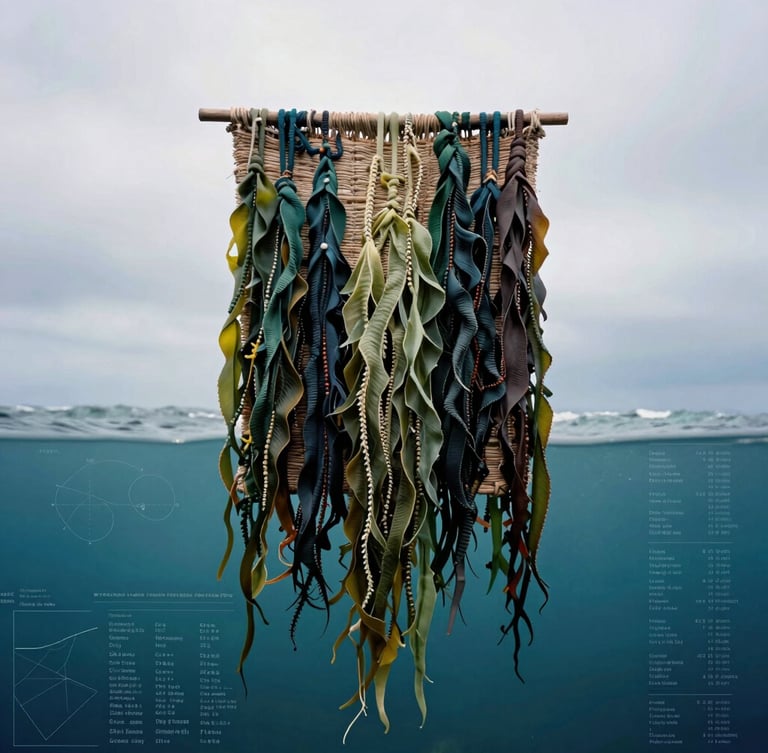
The dual-validation framework
We establish a formal collaborative bridge between empirical oceanography and indigenous coastal heritage. This rigorous framework ensures every exhibit is grounded in verified marine science and authentic coastal memory.
Rigorous alignment
Every installation undergoes mutual validation. Scientists verify the data-mapping accuracy, while coastal artists ensure the cultural integrity.
Begin a co-creation
We invite marine researchers and fine artists to unite their disciplines. Let us translate complex marine stressors into profound cultural landmarks that spark a global cascade of awareness.
Visualizing Coastal Climates
Translating marine stressors through scientific co-creation and fine art.
Overview-Exhibitions-Our Process-Inquire
Inquire
curator@visualizingcoastalclimates.org
Scientific & Artistic Collaborations
Global Exhibition Inquiries
© 2026 Visualizing Coastal Climates, Global Futures
Tide-line narratives of a warming world